Top courses
$9.99

Beginner
Introduction to Machine Learning (ML) and Artificial Intelligence (AI)
(5)
(2 Reviews)

02:36:08 Hours
23 Lectures
Last updated Wed, 22-Nov-2023
23 Lessons
02:36:08 Hours
English
Machine Learning and AI have found applications in numerous domains, including healthcare, finance, manufacturing, transportation, and entertainment, among others. By analyzing large datasets, machines can identify patterns, extract insights, and make informed decisions or predictions. This ability has transformed industries, enabling automation, personalized recommendations, fraud detection, medical diagnosis, and many other intelligent systems.
- By completing this course, you will develop a strong understanding of the foundational concepts of machine learning. and artificial intelligence
$4.99
Intermediate
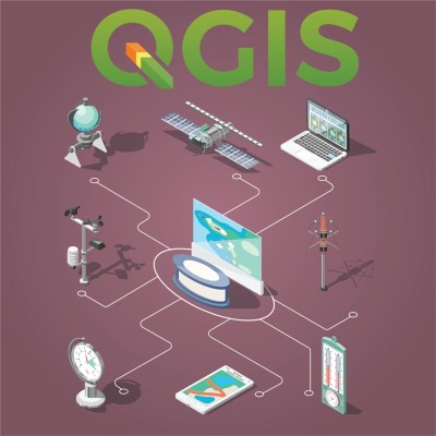
QGIS Plugins
(0)
(0 Reviews)
01:25:53 Hours
21 Lectures
Last updated Sun, 11-Jun-2023
21 Lessons
01:25:53 Hours
English
QGIS a popular open-source geographic information system (GIS) software that allows users to visualize, analyze, and manage spatial data. One of the key strengths of QGIS is its extensibility through plugins. Plugins are additional software components that enhance QGIS's functionality and provide specialized tools and features for specific tasks or workflows.
- extended know-how in being proficient with QGIS project tasks
Free

Beginner
Designing with Adobe XD
(5)
(1 Reviews)
04:32:54 Hours
38 Lectures
Last updated Fri, 23-Jun-2023
38 Lessons
04:32:54 Hours
English
Adobe XD is a powerful and versatile design and prototyping tool created by Adobe Systems. It is specifically designed for user experience (UX) and user interface (UI) designers, allowing them to create interactive prototypes, wireframes, and designs for websites, mobile apps, and other digital interfaces.
- By completing this course, you will develop a strong understanding of the foundational concepts of design
$4.99
Beginner
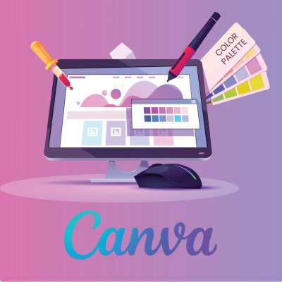
Mastering Canva
(0)
(0 Reviews)
06:40:24 Hours
35 Lectures
Last updated Sun, 11-Jun-2023
35 Lessons
06:40:24 Hours
English
Canva is a popular and user-friendly graphic design software that allows individuals and businesses to create a wide variety of visual content. It offers a range of intuitive tools and templates, making it accessible to both professional designers and beginners with limited design experience.
- By completing this course, you will develop a strong understanding of the foundational concepts of design and animation
$4.99
Beginner
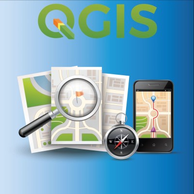
Mastering QGIS
(0)
(0 Reviews)
05:08:43 Hours
69 Lectures
Last updated Mon, 12-Jun-2023
69 Lessons
05:08:43 Hours
English
QGIS, which stands for Quantum Geographic Information System, is an open-source geographic information system (GIS) software that allows users to create, edit, visualize, and analyze geospatial data. It provides a user-friendly interface and a comprehensive set of tools for working with various types of geographic data, including maps, satellite imagery, and GPS data.
- Learners will master the core concepts of Geographic Information Systems(GIS), be able to perform tasks in GIS, and carry out projects in GIS
$9.99

Beginner
No-Code Web Development
(0)
(0 Reviews)
04:15:41 Hours
26 Lectures
Last updated Wed, 09-Aug-2023
26 Lessons
04:15:41 Hours
English
Discover the world of web development without the need for coding expertise with our comprehensive No-Code Web Development course. This course is designed for individuals who want to create professional-looking websites quickly and easily, regardless of their technical background.
- Upon completion of this course, you will have the skills to create and maintain professional websites for personal or business purposes. With no coding required, you'll be equipped to unleash your creativity and turn your ideas into stunning web experiences. Join the no-code revolution and become a web developer without writing a single line of code!
$4.99

Beginner
Mastering ArcGIS - ArcMap
(0)
(0 Reviews)
05:45:06 Hours
76 Lectures
Last updated Mon, 12-Jun-2023
76 Lessons
05:45:06 Hours
English
Unlock the power of geographic information systems (GIS) mapping with our comprehensive ArcMap course. Designed for both beginners and intermediate users, this course will equip you with the knowledge and skills to effectively utilize ArcMap, one of the leading GIS software applications.
- This course will equip you with the knowledge and skills to effectively utilize ArcMap, one of the leading GIS software applications.
- Upon completion of the course, you will have a solid foundation in ArcMap and GIS mapping. You will be able to leverage this knowledge in a variety of fields such as urban planning, environmental analysis, and resource management. Empower yourself with ArcMap skills and gain a competitive edge in the world of geospatial technology.
Free

Intermediate
Microsoft Word Tips and Tricks
(5)
(1 Reviews)
01:09:28 Hours
22 Lectures
Last updated Fri, 18-Aug-2023
22 Lessons
01:09:28 Hours
English
Whether you're a business professional, student, writer, or anyone seeking to enhance their Microsoft Word skills, this course will equip you with the expertise to create polished, efficient, and visually appealing documents.
- By completing this course, you will develop a strong understanding of productivity features within Microsoft Word


Write a public review